QCOSTARICA — Rains will intensify in Costa Rica starting next week due to the possible formation of a low-pressure system north of Panama. This phenomenon could evolve into a tropical cyclone in the Central American Pacific.
This was highlighted by Daniel Poleo, meteorologist at the Climatology Unit of the National Weather Service the Instituto Meteorológico Nacional (IMN).
“For now, there is a high possibility that one of these tropical waves, along with the Intertropical Convergence Zone, is contributing to the occurrence of a tropical cyclone in the Pacific region,” he indicated.
– Advertisement –
The Intertropical Convergence Zone is in the Pacific. Poleo emphasized that, although it is close to Costa Rica, it would not be directly influencing the situation.
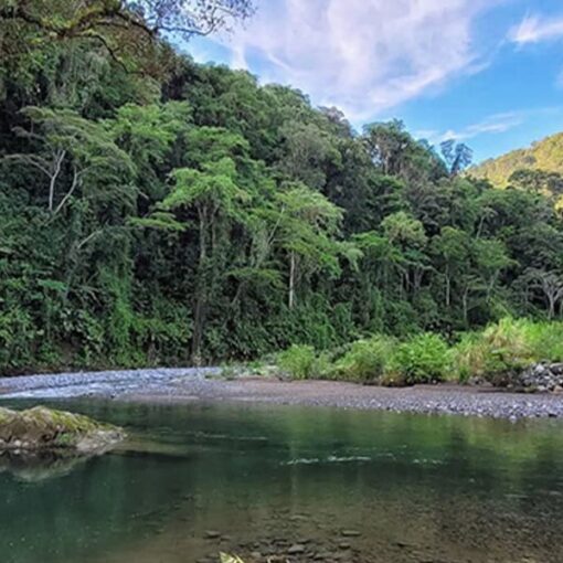
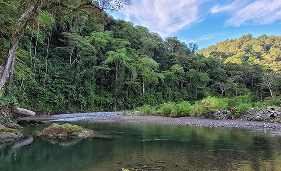
“We are forecasting an increase in rainfall in the Pacific; the entire South Pacific coast will experience much more rain than usual in May,” Poleo emphasized.
“We will also experience wetter conditions in the Caribbean, at least for a few days, in the mountainous areas of the Caribbean, the North Caribbean, and the South Caribbean,” he added.
He also explained that it is not the tropical wave—which is forecast for the beginning of next week—that is generating the cyclone itself, but rather the disturbance that would remain after its passage.
What to expect this week?
The rainy scenario for the coming days will be marked by two main phenomena:
– Advertisement –
- Monday, May 12, and Tuesday, May 13: the arrival of the first tropical wave of the season, which will intensify rainfall in the Pacific and in parts of the Central Valley. The tropical wave will be added to the active influence of the Intertropical Convergence Zone.
- Wednesday, May 14 to Saturday, May 17: Possible formation of a low pressure system in the Pacific, with the potential for cyclogenesis (formation of a tropical cyclone), generating more intense and persistent rainfall conditions, especially in the South and Central Pacific.
The IMN clarifies that the heaviest rainfall will be related to the general instability of the atmosphere and not directly to the cyclone over Costa Rica and urges caution regarding possible extreme events, such as local flooding, in addition to the significant soil saturation.
Cyclone and Tropical Wave Season
Ahead of the start of the tropical cyclone season in the Pacific, which officially begins on May 15, the IMN anticipates normal conditions.
– Advertisement –
For the Atlantic and Caribbean, however, a more active than average season is expected, with two to four more tropical cyclones.
“So, the entire tropical cyclone season period, beginning in June and ending in November, would see between 14 and 16 tropical cyclones, which is what we are projecting,” the expert explained.
The arrival of between 50 and 54 tropical waves to the country is also estimated throughout the 2025 season, an increase from the historical average of 46.
“The formation of more waves is mainly because we are seeing that the Atlantic Ocean is warmer than normal. That doesn’t mean we will be experiencing more rain, but rather that there are more disturbances such as tropical waves that may be reaching the country,” he added.
A cold neutral phase will continue during the first half of the year. The IMN ruled out the formation of La Niña (more rain) or El Niño (less rain) this year.
Meanwhile, for the second half of the year, there is a possibility that the equatorial Pacific region will warm up a little more.
However, this year’s rainy season is expected to be within normal ranges.
– Advertisement –
Source link
Rico


